About West Los Angeles
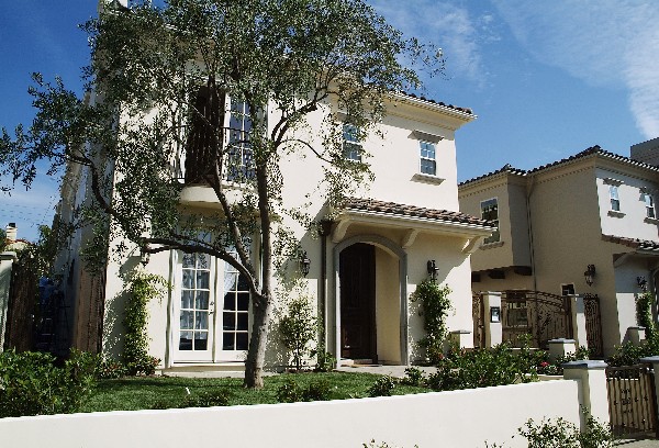
West Los Angeles (often referred to as West L.A.) is an affluent district in the Westside region of the City of Los Angeles, California. The district lies in a small part of what the larger region by the same name, when locals use the name they may be referring to the district or the larger region known as the “Westside.”
The district’s general boundaries are the Santa Monica Freeway (I-10) on the south, and the borders with the neighborhoods of Century City (Century Park West) and Rancho Park on the west. The northern border of the portion of West L.A. that is east of the I-405 is Santa Monica Boulevard (north of which is Westwood). These parts of the district are represented by the Westside Neighborhood Council, a council shared with Century City, Cheviot Hills, and Rancho Park. This district contains and is adjacent to an area of Japanese-American culture along Sawtelle Boulevard which is sometimes called Sawtelle.